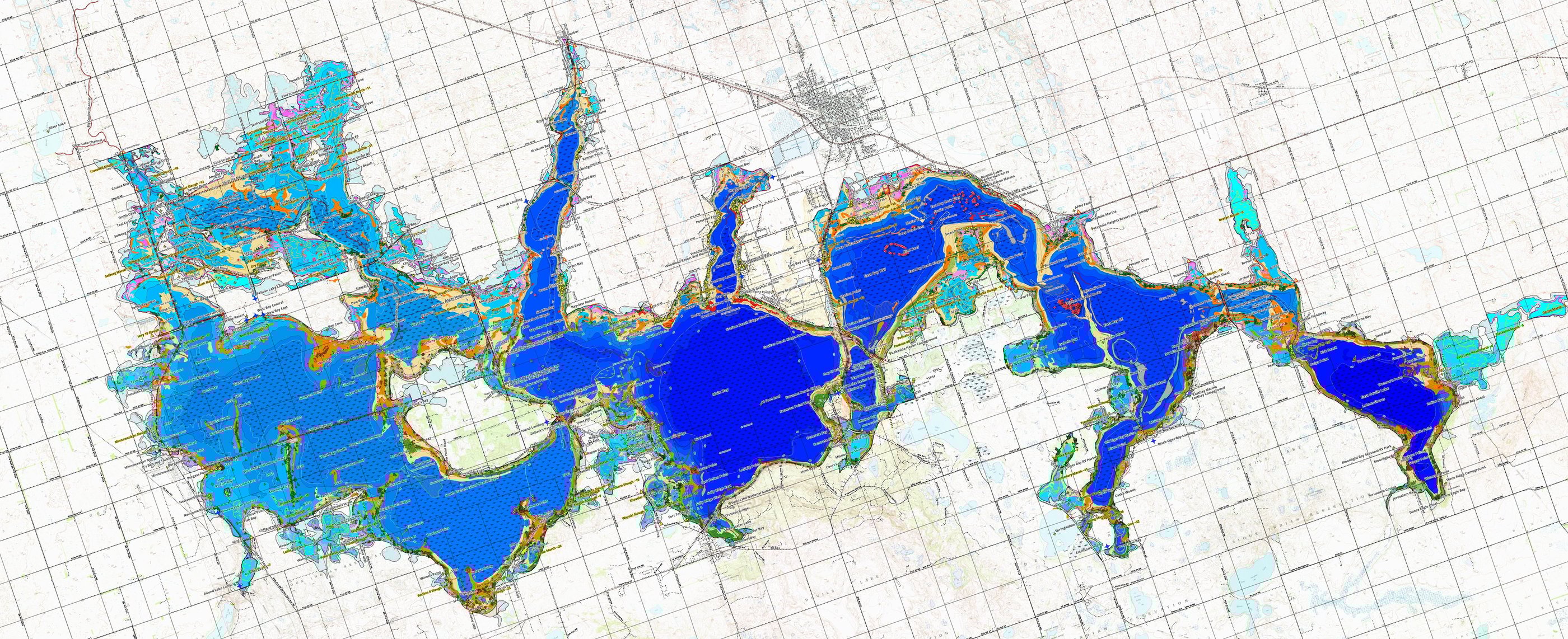
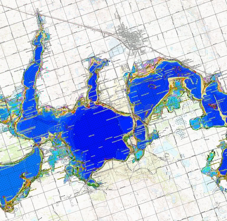
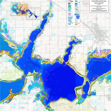
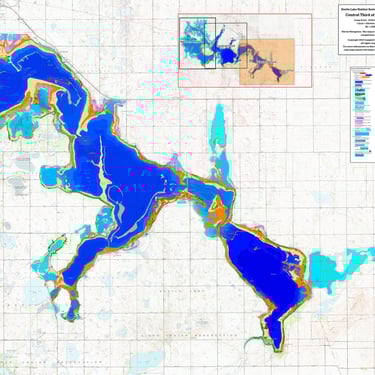
Habitat Elements
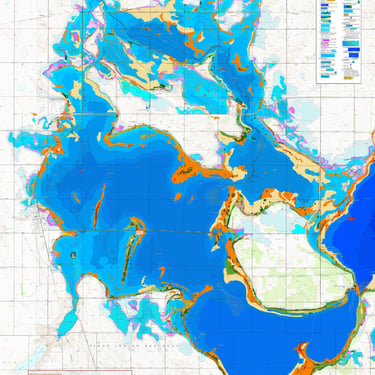
Devils Lake has a remarkable diversity of habitat. Below is a summary of the habitats elements which are present on the hard copy and electronic versions of the maps.
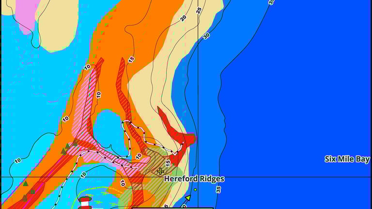
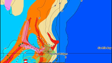
Bottom Composition
Rock, Gravel, and Sand.
Main Basins
Flooded Sloughs
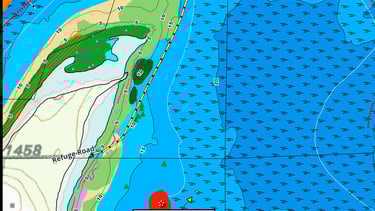
Old Shoreline Beaches
Floodway Channels and Outwash Fans
Man Made Elements
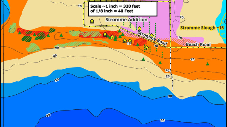
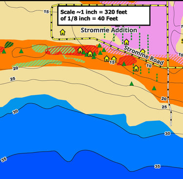
Roads
Culverts
Rip-rap
Stock Ponds
Building Foundations
Borrow Pits and Quarries
Transmission Tower Bases
Flooded Lagoons and Marinas
Vegetation
Flooded Groves, Thickets and Tree lines.
Aquatic Vegetation

Georeferenced Maps for Phones and Tablets Now Available
These are companion maps to the set of eight hard copy maps. They are available for $39.99 at the Avenza Map Store
This map covers Zieback's Pass west to City of Minnewaukan. Click here for more information:
This map covers from Graham Island Causeway to Penny Bay. Click here for more information:
This Map covers from the Stromme Addition to Jerusalem Bay. Click here for more information:
https://store.avenza.com/products/habitat-mapping-of-the-western-third-of-devils-lake-nd-feb-2026-none-8452-map?utm_source=vendor_link.
Join Us
Get updates on availability of Irvine, Alice, and Stump Lake Maps